 by
by Graham looks back at how the ORN and PRN played a part in making London 2012 a success
Previously in this series: Part 1: The plan and the people
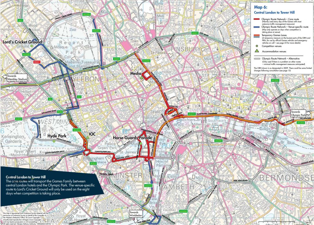
One of the major transport planning workstreams in the couple of years leading up to the London 2012 games was the planning, design and implementation of the Olympic Route Network (ORN) and Paralympic Route Network (PRN).
The ORN/PRN concept began at Sydney 2000, and has now become a common feature of the host city arrangements (here’s the Paris 2024 network). It is a set of key roads connecting accommodation, training locations and Games venues. The aim is for athletes, officials, the media and VIPs (collectively known as the ‘Games Family’) to be able to get around reliably and within certain target journey times. They need to have a good experience that reflects well on the host city and ensures the headlines stay on the sports.
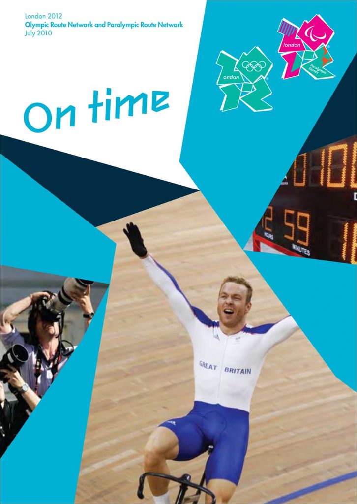
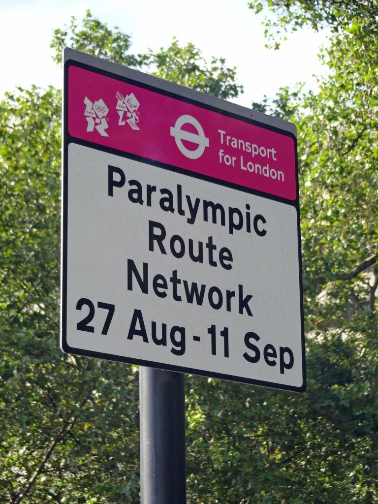
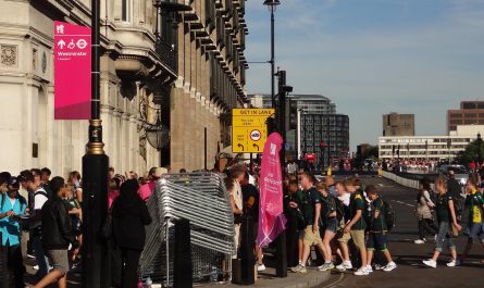
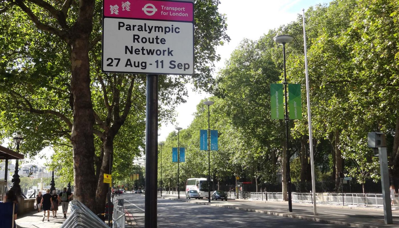
The London 2012 ORN was essentially a small number of key links. Some were needed throughout the Olympics, such as the route from the central London media hotels to the Olympic Park and other east London venues. Others were only in place on certain days when they were needed, such as the routes from central London to Wimbledon, Wembley, and the beyond-London venues such as Weymouth and Portland. The PRN was a smaller-scale version, tailored to the Paralympics’ requirements.
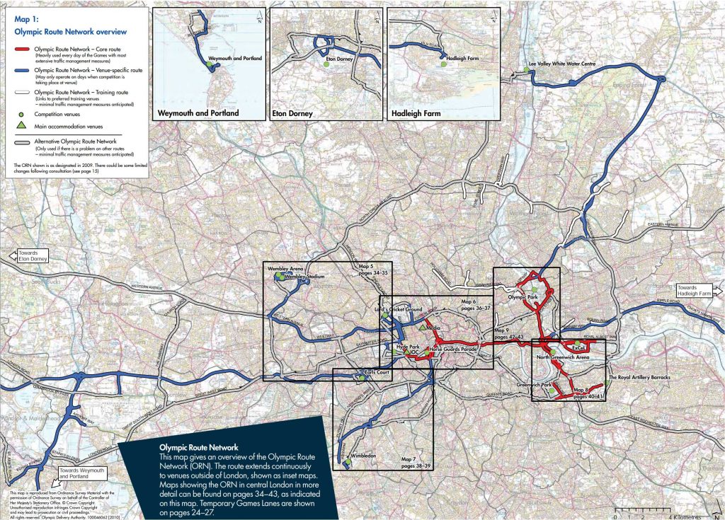
The basic aim was for traffic to flow reliably on these routes. This in turn meant prioritising them, using measures such as changing signal timings, side road closures, parking suspensions and targeted use of Games lanes reserved for vehicles carrying the Games family. The basic result, as one colleague explained it to me, was that it might take you a bit longer than usual to cross the ORN or to get onto it from a side road, but once you were on it, you would be fine.
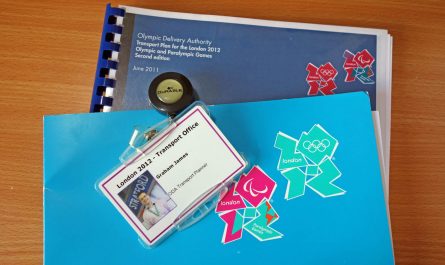
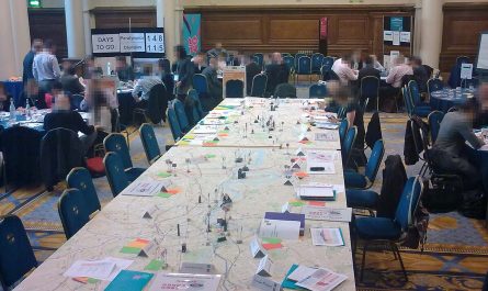
Although the Olympic Delivery Authority had legal powers to do this, it required a lot of detailed planning and design, plus consultation with the highway authorities and stakeholders. The consultation was not perfunctory and changes did get made. A lot of my colleagues at the time were putting in enormous efforts and the office was often busy well into the evenings.
In traditional British style, there was a touch of political and media fuss about some of the potential impacts. Detractors talked of ‘Zil lanes’, although in fact very little of London was part of the ORN, it remained open to everyone anyway, only a proportion of the ORN had Games lanes, and the Games family were taken around in buses as much as in chauffeured cars.
The plan worked, of course. The hard work paid off and transport was simply a non-issue during the Games, as had always been the intent. As so often, a lot of hard work, plus goodwill all round, plus pragmatism and willingness to compromise – backed up by funding and legal powers! – got the result.
Next in this series: Part 3: Getting ahead of the Games